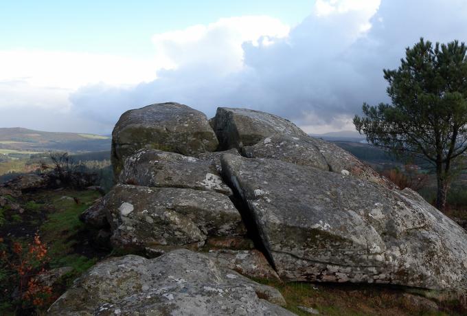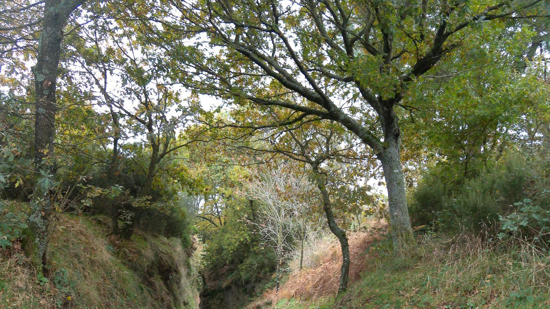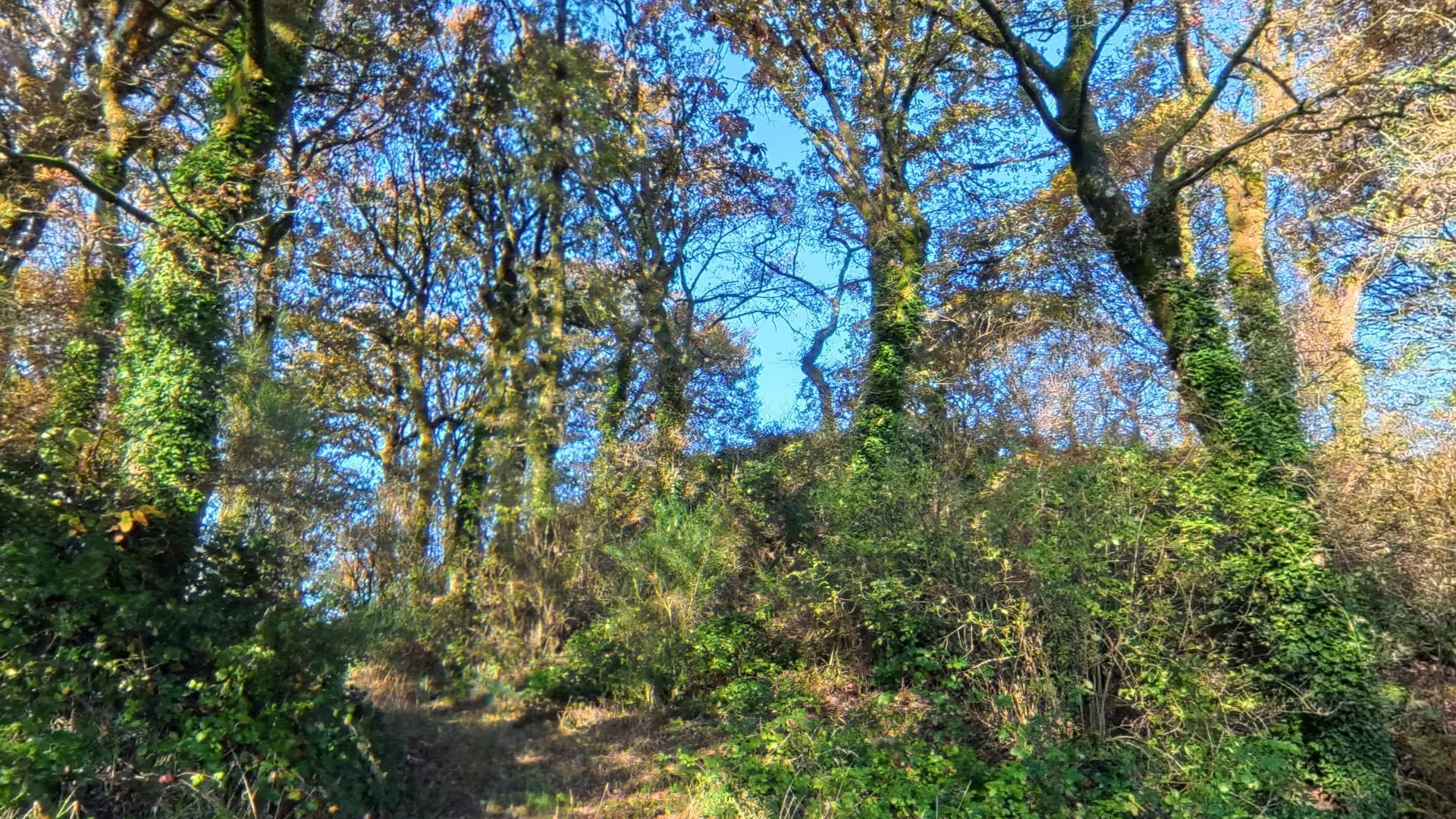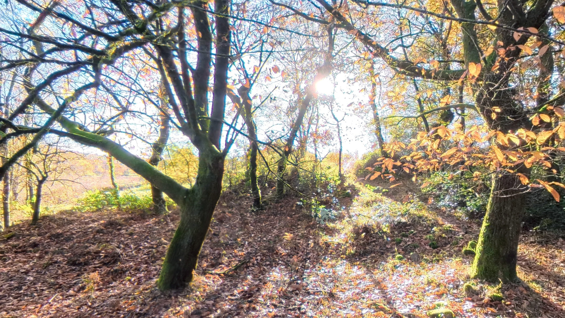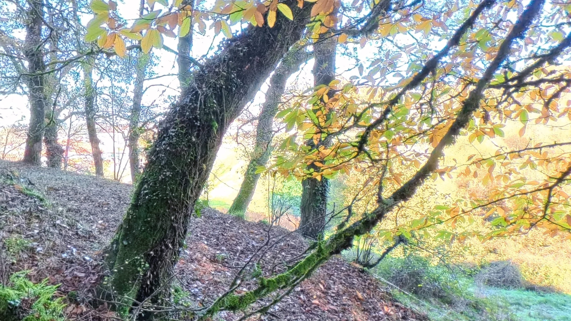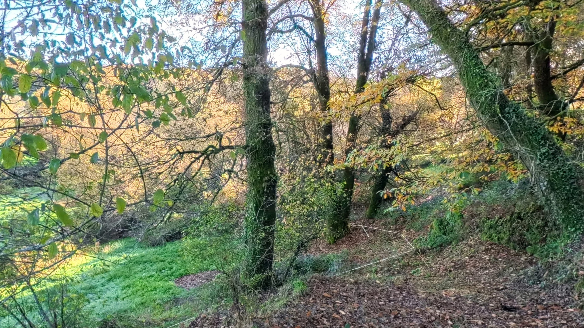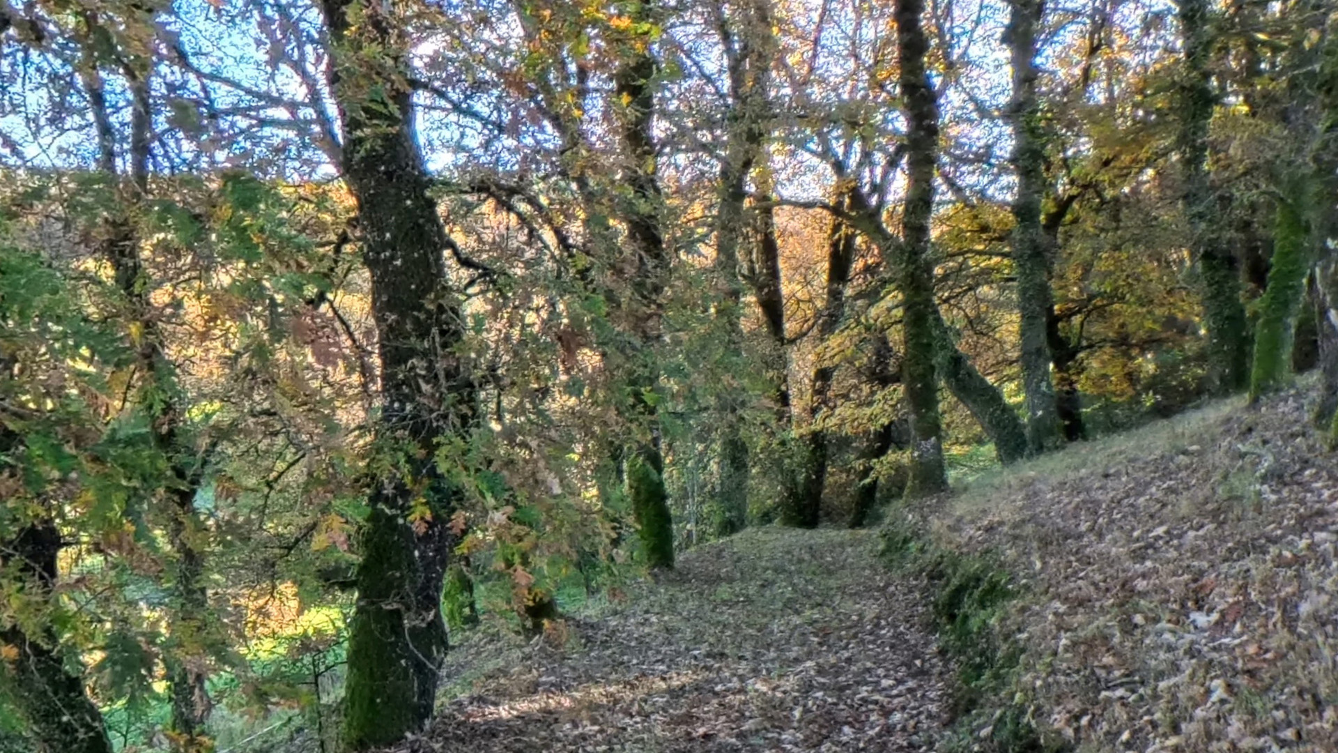
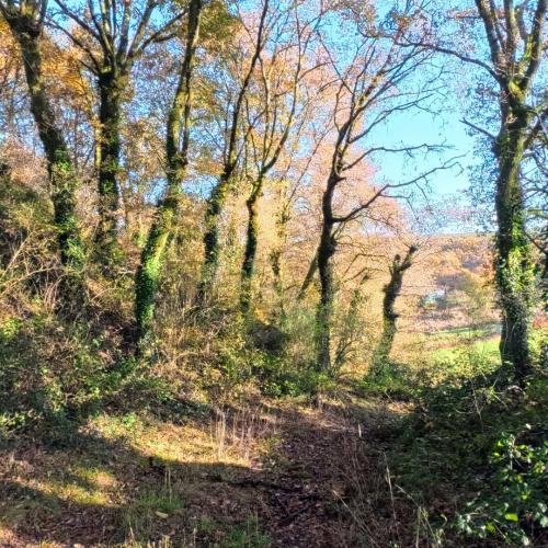
The Castro de Dozón Hillfort is a prehistoric settlement associated with the Iron Age, located opposite the village of As Nogueiras, from which it is separated by a small valley of humid green meadows. It stands at 677 metres above sea level, in a place known as Os Castros, a toponym that refers to the historical presence of defensive enclosures. From this dominant position it visually controls the parish area of Santa María de Dozón, visible at a short distance to the northeast, as well as the valley watered by the streams descending from Monte da Pena de Francia toward the Rego Piñeiro, one of the sources of the River Asneiro.
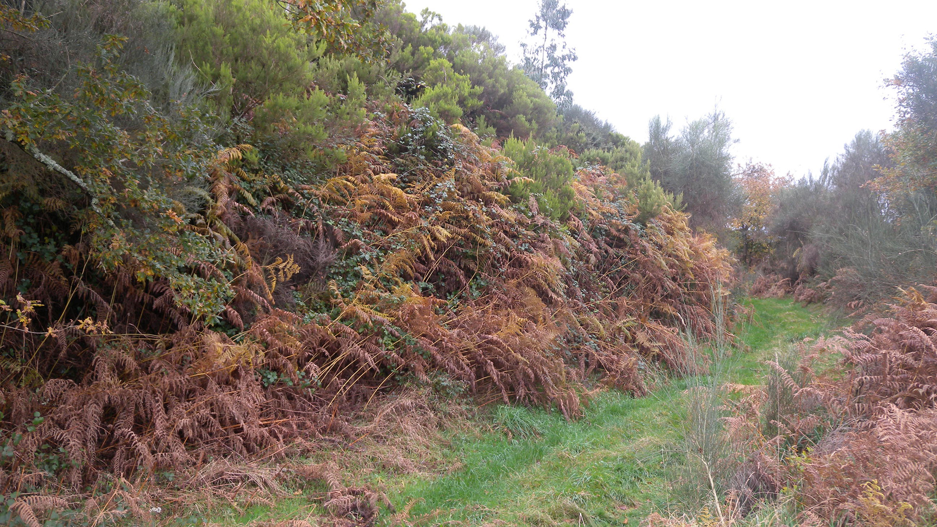
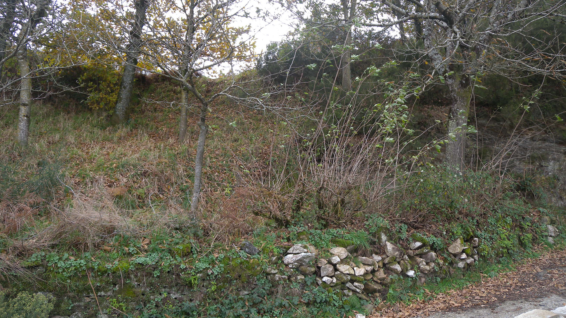
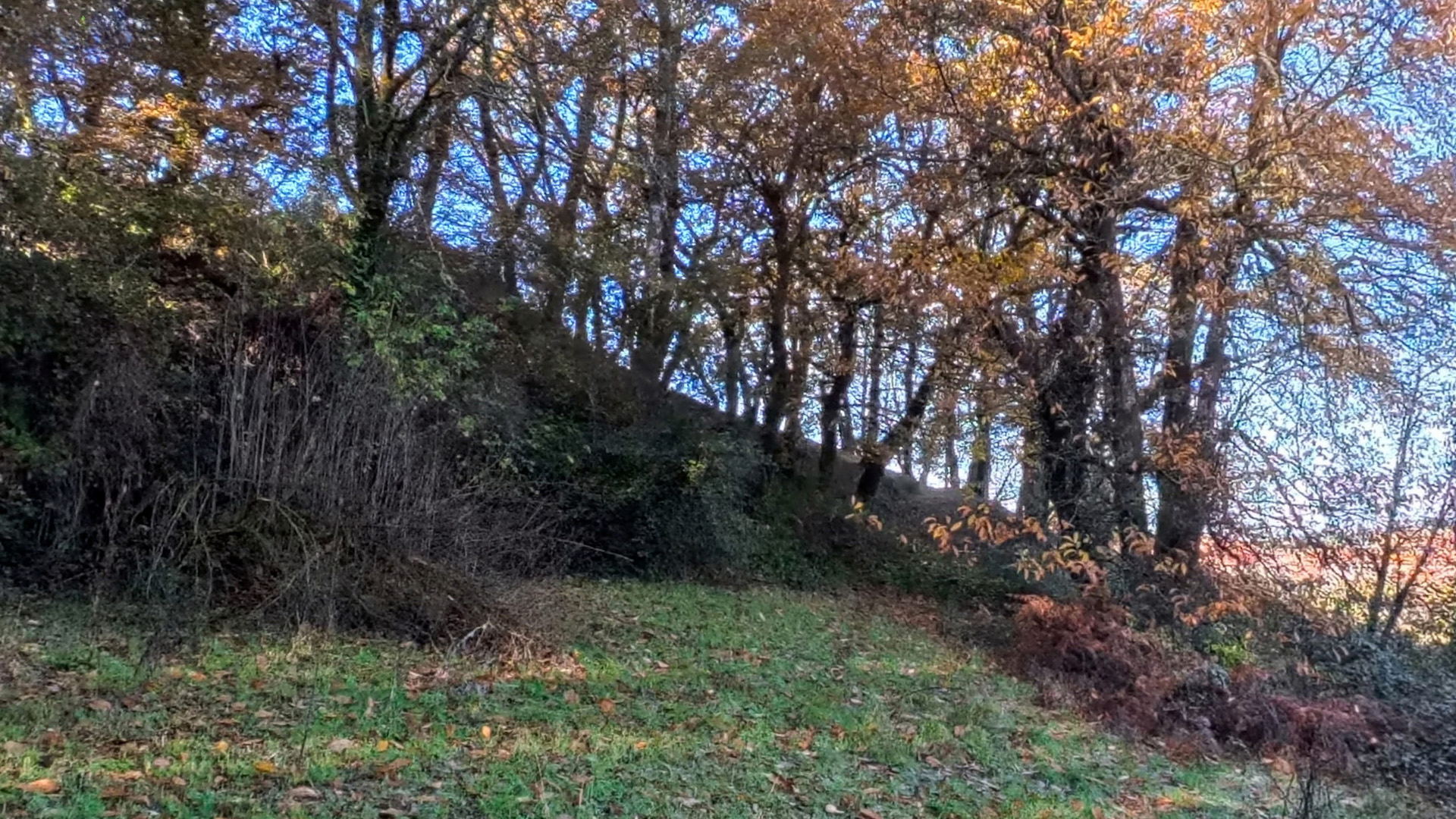
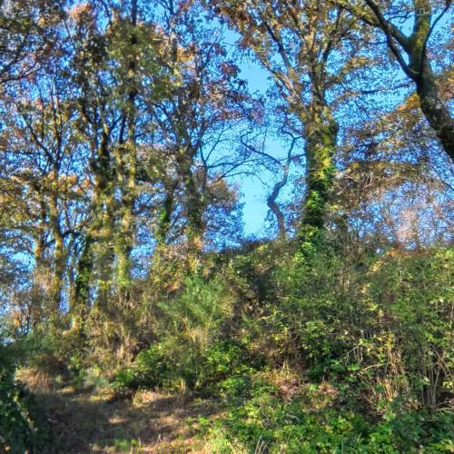
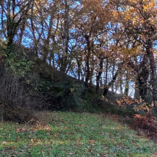
The enclosure has a triangular layout, with a clearly defined croa (central enclosure) surrounded by a powerful defensive rampart that in some sections reaches several metres in height. These structures reinforce the fortified character of the settlement and help explain its role in controlling the surrounding territory during the hillfort period.
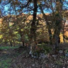
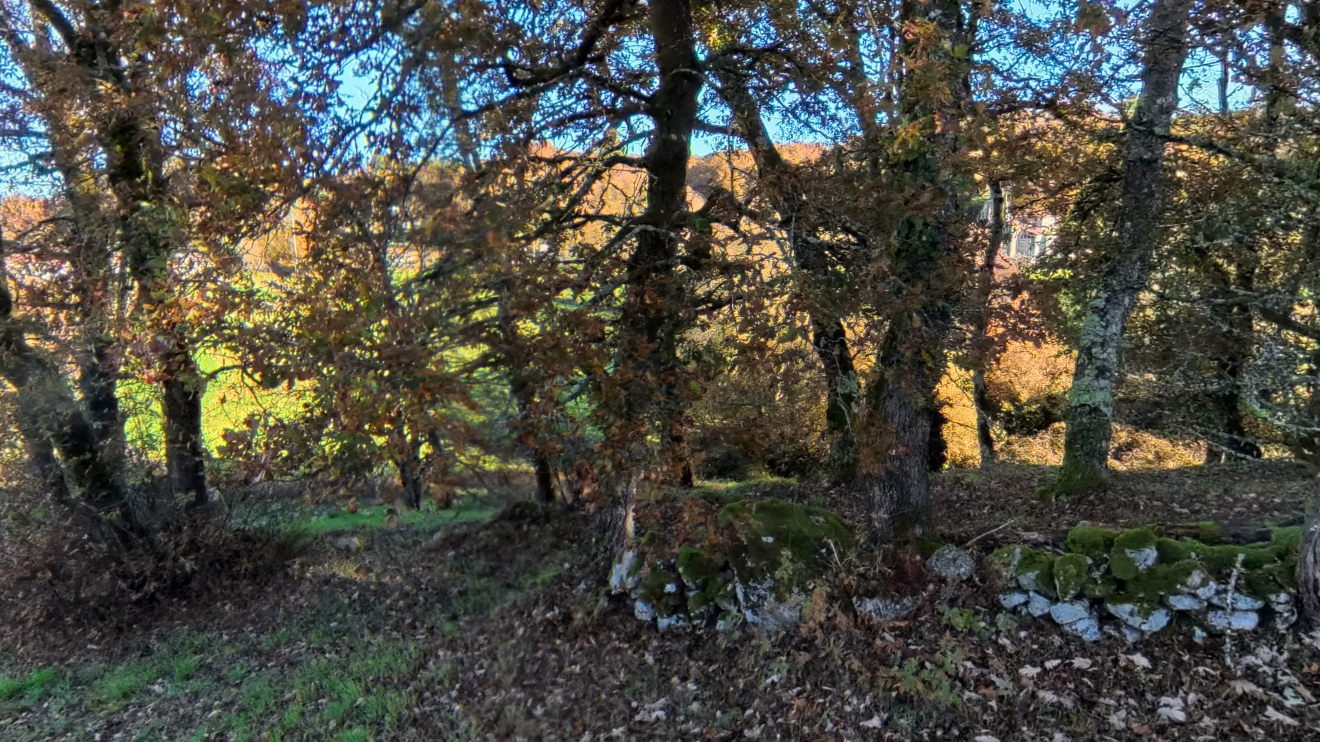
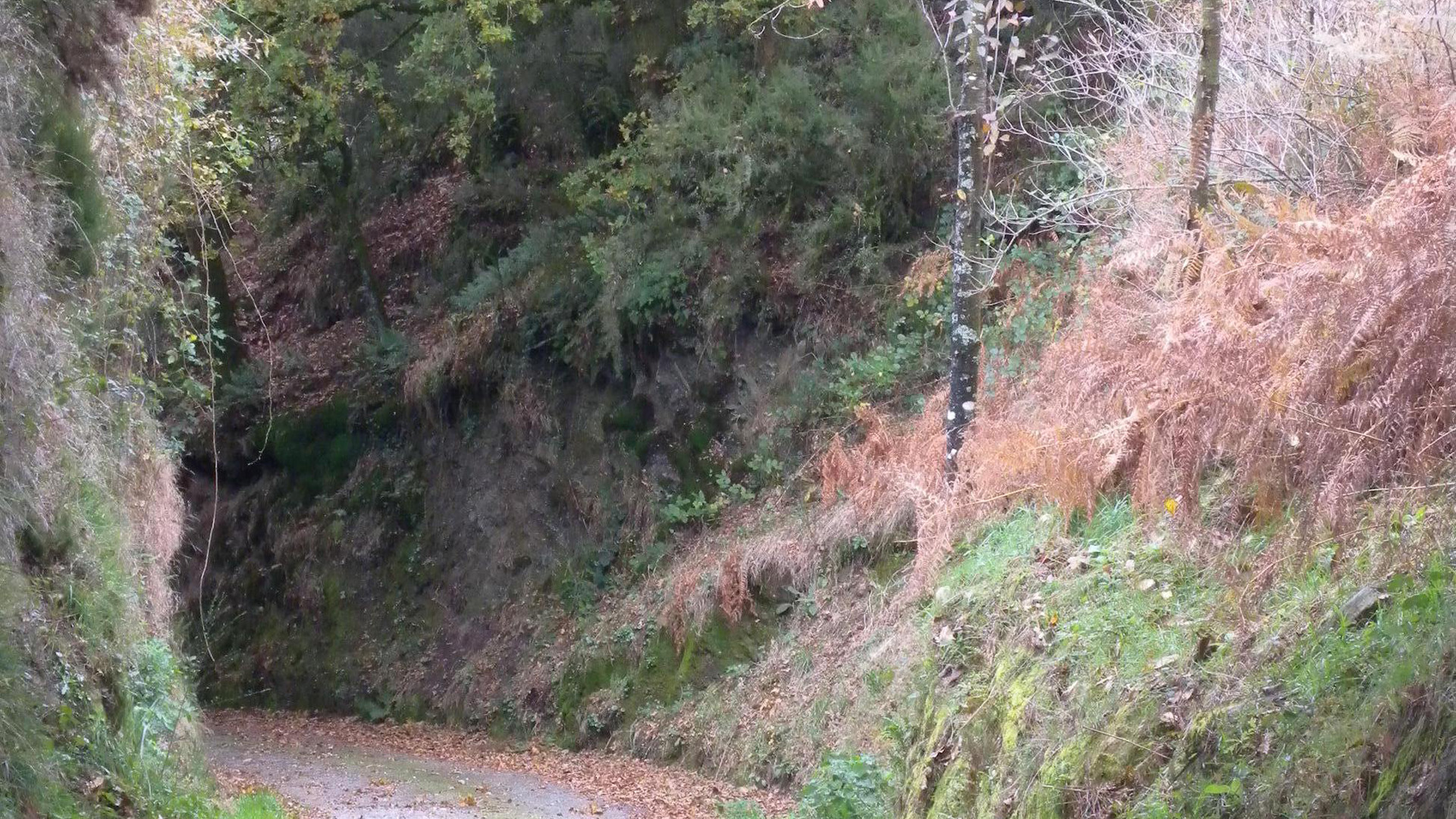
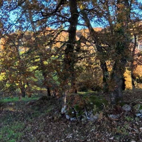
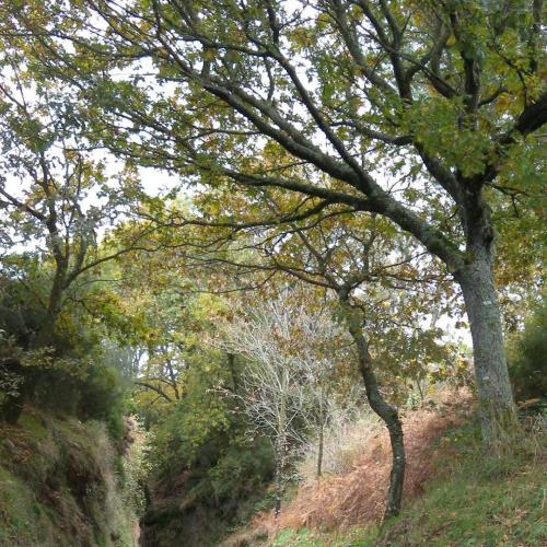
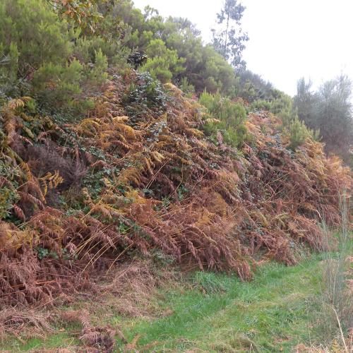
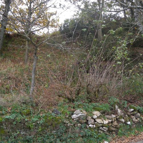
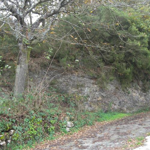
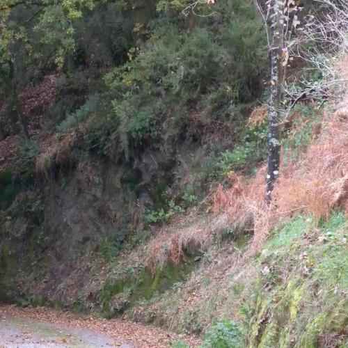
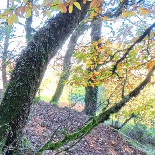
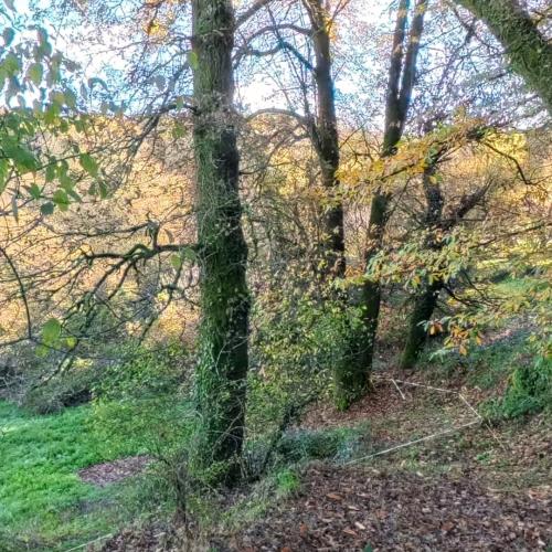
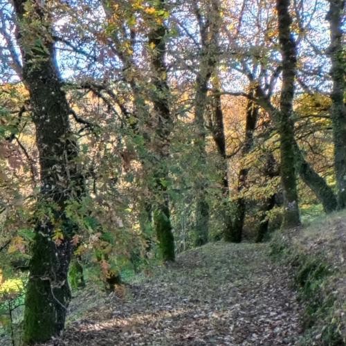
The upper area of the hillfort has an oval shape and contains a wide habitable surface, enlarged by outer defensive structures that significantly increase the overall extent of the settlement. On the western side, a parapet about two metres high can still be clearly seen, one of the most recognisable elements of the site, now partially covered by native vegetation.
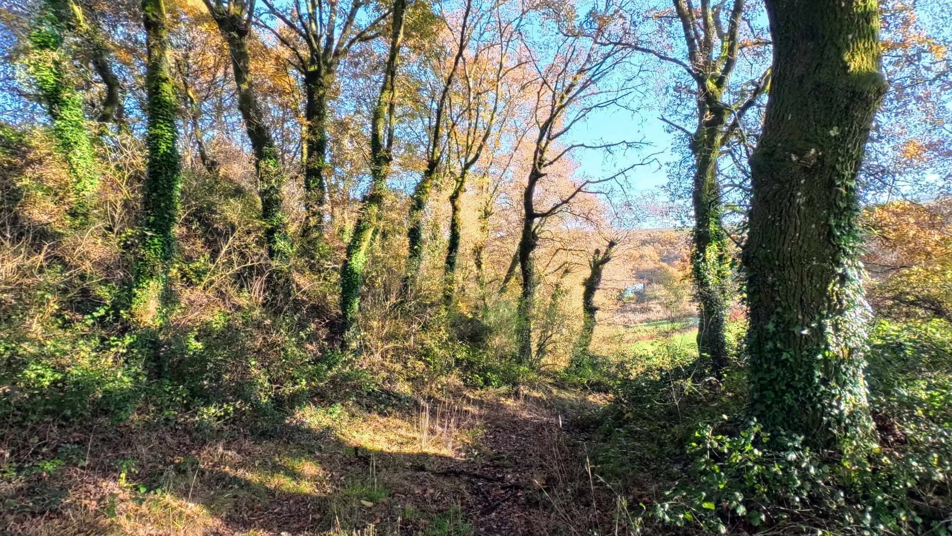
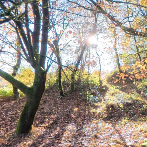
Set within a rural environment of great scenic value, the Castro de Dozón Hillfort allows visitors to understand the organisation of ancient castro settlements and their relationship with the surrounding territory, making it a site of great historical and cultural interest in inland Galicia.